Most visitors meet the Tonlé Sap as a boat trip: an hour to a stilted village, some photographs, back for dinner. That undersells it considerably. The Tonlé Sap is one of the strangest and most productive freshwater systems on the planet — a lake that reverses the direction of its own river twice a year, swells to several times its dry-season size, and out of that annual flood produces the protein that feeds most of a country. It also built Angkor. And right now it is in measurable trouble.
The Reversal, Explained
The Tonlé Sap lake sits in a shallow basin in central Cambodia and drains, in the dry season, through the Tonlé Sap River southeast into the Mekong at Phnom Penh. Normal enough.
Then the monsoon arrives. Rain across the basin plus snowmelt and rainfall far upstream swell the Mekong so enormously that at the confluence the Mekong's water level rises above the lake's. The Tonlé Sap River, unable to discharge against that pressure, stops, hesitates, and then flows backwards — pushing Mekong water north and west into the lake for months.
The effect is spectacular. Through the wet season the lake expands from roughly 2,500–3,000 km² to something on the order of 15,000 km², and deepens from a couple of metres to around nine or ten. Forest that stood on dry ground in April is underwater in September. Then, as the Mekong falls after the rains, the river turns around again and drains the lake back out through the dry months. Cambodians have marked that turning for centuries with Bon Om Touk, the Water Festival — dragon-boat races timed to the reversal, covered in our festivals calendar.
Why the Flood Pulse Matters So Much
The annual flood pulse is not a curiosity; it is the engine of the entire system.
- The flooded forest is a nursery. When water spreads into the surrounding scrub and forest, it creates vast, warm, food-rich shallows. More than 200 fish species use the cycle — catfish, carp, and the rest — migrating in to spawn and feed.
- The fishery is one of the world's largest inland catches. Estimates commonly put Tonlé Sap-linked production at roughly 500,000 to 700,000 tonnes of fish a year, and it supplies the primary protein source for Cambodia's population of around sixteen million.
- It fertilises as it goes. Each flood deposits nutrient-rich sediment, which is what makes the floodplain's rice country productive.
- It built an empire. The Khmer state that raised Angkor was underwritten by this reliability — dependable fish and dependable rice supporting a population density nothing else in the medieval world could match. The Bayon's bas-reliefs still show the Tonlé Sap naval battles and fishermen hauling nets, eight hundred years on.
The Bad News, and It Is Recent
The reversal is weakening. Research published in 2025 in Nature Sustainability found that between 1998 and 2018 the reverse flow into the lake fell by roughly 40–50%. The mechanism is not primarily rainfall: it is the lowering of the Mekong's riverbed, driven by industrial-scale sand mining and by sediment being trapped behind upstream dams. A deeper, sediment-starved channel means the Mekong's flood peak no longer backs up into the Tonlé Sap the way it did — so less water reverses, the lake fills less, and the flooded forest shrinks.
Projections in the same work are bleak: on current trends, reverse flow could be down by around 69% by 2038 compared with 1998. The knock-on effects run downstream too — more monsoon water pushed into the Mekong Delta (higher flood risk) and much less dry-season flow (worse saltwater intrusion into Vietnam's rice country).
For the lake's communities, a weaker pulse means a smaller nursery, and a smaller nursery means fewer fish. Anyone who has spoken to fishing families around Kampong Khleang in recent years has heard the same thing: catches are not what they were.
What This Means for Your Visit
None of this makes the lake not worth seeing — quite the opposite. But it should shape how and when.
Timing is everything
Visit in the wet or immediately post-wet months (roughly July through November/December) and you get the real thing: boats gliding between houses, the flooded forest navigable, birdlife everywhere. Visit in late dry season (March–May) and the water has retreated kilometres; the stilt houses tower over dusty ground, boats are stranded, and some tours quietly become bus rides. Both are interesting; only one is what you saw in the photographs. Our seasonal guide has the month-by-month picture.
Choose the village carefully
Kampong Phluk (~30 km) is the balanced choice — a genuine stilted community with a navigable mangrove forest in season. Kampong Khleang (~50 km) is bigger, further, and far less touristed. Chong Kneas, the closest to town, has a long-documented reputation for pressure selling and scams; we consistently steer people away from it. The full ethics-and-logistics breakdown is in the floating villages guide.
Ask what your boat fee funds
Better operators route money into the communities rather than around them, and will tell you exactly how. Be wary of any stop that involves buying overpriced "school supplies" or visiting children — that pattern is the lake's version of the orphanage-tourism problem we flag in the ethics guide.
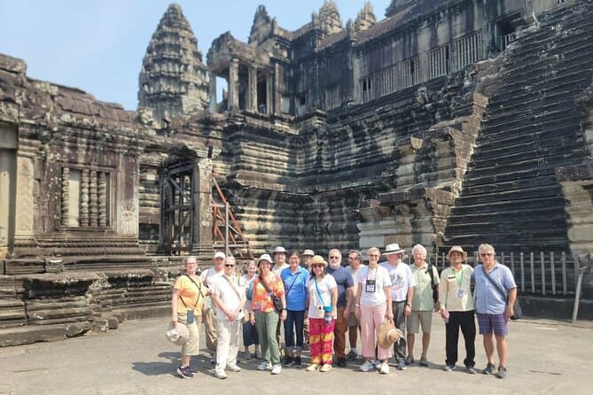
The multi-day tours that combine the temples with a lake day handle the operator question for you and get the seasonality right:
Staying long enough to do the lake properly usually means three or four nights in town — the four-day itinerary has the space for it, and the where-to-stay guide covers your base.
A Different Way to See It
If you have the time and the inclination, two things are worth more than another village photo stop:
- Prek Toal, the biosphere reserve at the lake's northwestern edge, is one of Southeast Asia's most important waterbird breeding colonies — pelicans, storks, and adjutants in numbers you will not see elsewhere in the region. It is a dawn trip and a serious one, best in the dry-to-early-wet window when birds concentrate.
- The Angkor connection. Look at the Bayon's outer galleries with the lake in mind — the fishing, the market scenes, the naval war on the water — and the whole civilisation suddenly has a food supply and an economy rather than just architecture. Our Bayon guide points you to the panels.
The lake is the reason the temples exist. It is still feeding Cambodia. And for the first time in its recorded history, the pulse that drives it is being measurably switched down by human engineering hundreds of kilometres upstream. Go while it still turns.