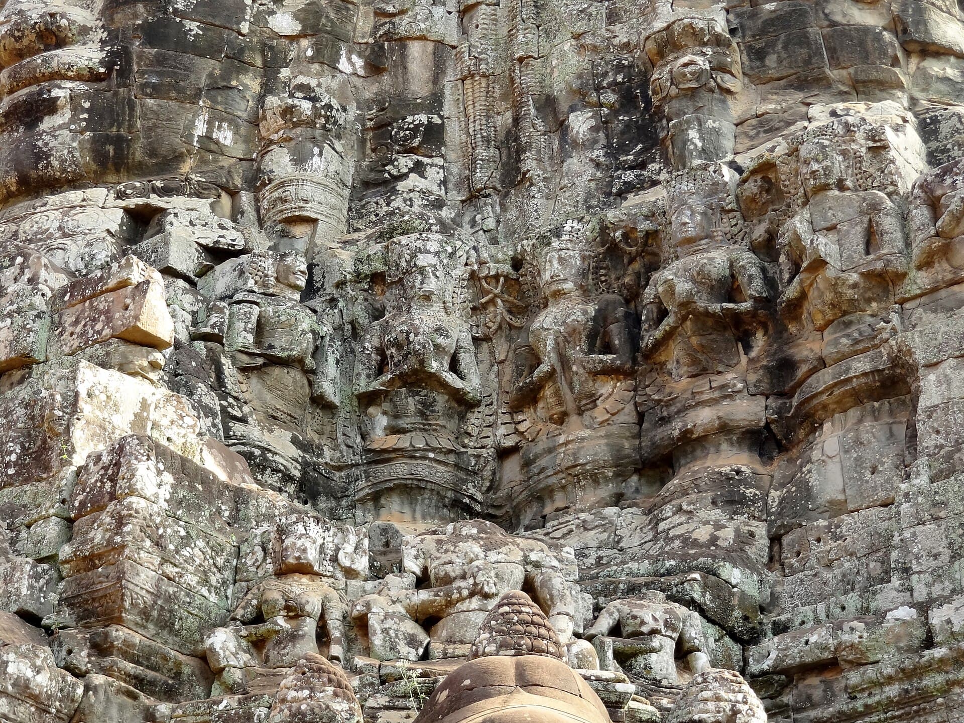
This page is a map. It says where the temples sit, how far apart they are, and which road loop links them. It does not rank them. For which ones belong on a first trip, start with the temple guides and the small circuit and grand circuit comparison.
Positions below are OpenStreetMap, rounded. Distances are approximate driving figures from OpenStreetMap routing on 26 October 2026, measured from the Old Market (about 13.354 north, 103.855 east) unless the row says otherwise. The minutes are what an empty-road model returns. Add time for traffic, ticket checks, and a driver who is not in a hurry. UNESCO’s Angkor listing covers a park on the order of 400 km². You will not see it on foot.
The map
The frame below runs from Roluos in the south to Banteay Srei and Kbal Spean in the north, and east as far as Banteay Samre. Beng Mealea, Koh Ker and Phnom Kulen sit off this frame. The wider link under the map opens those.
© OpenStreetMap contributors, ODbL. Open this map. Wider map, including Beng Mealea, Koh Ker and Sambor Prei Kuk’s direction.
Zones
Read the park as five zones, then three outliers.
- Angkor Wat and Phnom Bakheng, just north of town. Angkor Wat is about 13.413, 103.867. Phnom Bakheng is the hill between Angkor Wat and the South Gate, about 4 km from the temple by road.
- Angkor Thom, the walled city. South Gate about 13.426, 103.859. Bayon about 13.441, 103.859. The South Gate to Bayon is about 2 km.
- Small circuit, east of the walls: Ta Prohm, Banteay Kdei, Srah Srang. A few kilometres east of Bayon.
- Grand circuit, north and east: Preah Khan, Neak Pean, Ta Som, East Mebon, Pre Rup.
- Roluos, southeast of town, on the way toward the highway: Bakong, Preah Ko, Lolei. Bakong is about 16 km from the Old Market.
- Outer sites: Banteay Srei and Kbal Spean to the north, Banteay Samre to the east, then Beng Mealea, Koh Ker and Phnom Kulen beyond the frame.
Hours for each gate are on the opening hours page. A beautiful pin on a map is still closed if you arrive at 06:00 and the temple opens at 07:30.
The small circuit
Drivers use “small circuit” for the southern loop: Angkor Wat, the South Gate, Angkor Thom (Bayon, Baphuon, the Terrace of the Elephants), then east to Ta Prohm, Banteay Kdei and Srah Srang, and back. Guidebooks print a single length for that loop. Angkor Enterprise does not, on the pages we could read, so this guide does not either.
Stop to stop, approximate:
- South Gate to Bayon, about 2 km.
- Bayon to Ta Prohm, about 6 km.
- Ta Prohm to Banteay Kdei, about 1 km.
- Banteay Kdei to Srah Srang, about 1 km.
- Angkor Wat to Phnom Bakheng, about 4 km.
Inside the walls, Baphuon is just northwest of Bayon, the Terrace of the Elephants faces the state square, and the Victory Gate is the east door of the city, about 1 km north of Bayon. You can walk between Bayon, Baphuon and the terraces. You should not walk from Bayon to Ta Prohm.
A bicycle day follows the same roads on a smaller schedule. The bike tour guide is the version with a group and a mechanic.
The grand circuit
The grand circuit leaves Angkor Thom by the Victory Gate and runs north and east through Preah Khan, Neak Pean, Ta Som, East Mebon and Pre Rup, then back past Srah Srang. Again, no official loop length from the ticket office. Approximate hops:
- Victory Gate to Preah Khan, about 3.5 km.
- Preah Khan to Neak Pean, about 3 km.
- Neak Pean to Ta Som, about 2 km.
- Ta Som to East Mebon, about 2.5 km.
- East Mebon to Pre Rup, about 1 km.
- Pre Rup to Srah Srang, about 2 km.
That is a second day, not a detour after Ta Prohm. The grand circuit gems page is the one that chooses among the smaller stops.
Roluos
Roluos is the earlier capital, southeast of Siem Reap, not a suburb of Angkor Thom. Bakong is about 16 km from the Old Market. Preah Ko is about 1.5 km from Bakong, and Lolei about 1.5 km from Preah Ko. The Roluos guide is the history. On a map, the mistake is trying to “pass by” Roluos on the way from Ta Prohm to Banteay Srei. It is the other direction.
Outer temples: distance table
| Place | About | Plan |
|---|---|---|
| Angkor Wat | 7 km | Under 15 minutes before dawn traffic |
| Angkor Thom South Gate | 9 km | With the Angkor Wat stop, not instead of it |
| Bayon | 10 km | Inside the walls after the South Gate |
| Ta Prohm | 14 km | The east side of the small circuit |
| Bakong (Roluos) | 16 km | Its own short morning |
| Banteay Samre | 22 km | East of the grand circuit, or on the way back from Banteay Srei |
| Banteay Srei | 38 km | About 45 minutes in the model, longer in traffic |
| Kbal Spean parking | 49 km | Then the hike. About 14 km past Banteay Srei |
| Beng Mealea | 53 km | About an hour. A car, not a quick tuk-tuk add-on |
| Phnom Kulen waterfall | 58 km | Plan around 1.5 hours. The mountain road is the slow part |
| Koh Ker (Prasat Thom) | 108 km | Plan about 2 hours |
| Sambor Prei Kuk | 168 km | Commonly planned as 2.5–3.5 hours. Past Kampong Thom |
Banteay Srei to Beng Mealea is about 50 km on a different road from the one back to town. Beng Mealea to Koh Ker is about 60 km. Stacking all three into one day is a dawn-to-dark drive. The day trips guide is where those combinations are judged. This page only measures them.
Tuk-tuk time, and what a day rate means
A tuk-tuk in the park is a day hire, not a fare per temple. The tuk-tuk guide puts a temple day at about $20–35, with the small circuit toward the lower end when you agree it in advance, and Banteay Srei at the top or in a car. The map is why. Angkor Wat is 7 km. Banteay Srei is 38 km each way. Kbal Spean, Beng Mealea, Kulen, Koh Ker and Sambor Prei Kuk are car distances.
The driver waits at the gate. You are paying for the waiting as well as the kilometres. Say the loop out loud before you leave: “small circuit, sunrise, back after Ta Prohm.”
The ticket office and the checkpoints
Angkor Enterprise places the ticket office on Road 60, 4 km from the centre. It is on the way to Angkor Wat, which is why drivers stop without being asked. Checkpoints then look at the pass at the temples. The pass guide is the price and the photo rule. Keep the pass on you. The map will not get you through a gate.
Offline maps
Download an offline OpenStreetMap app before you go in. Organic Maps and OsmAnd both store a Cambodia extract on the phone. Signal at Bayon and inside Ta Prohm drops. A screenshot of this page plus the app is enough. You do not need a live route for a loop your driver already knows.
If you want a guide who already knows the loops
The geography above is the whole job of a first-day routing. These are the products that drive it:
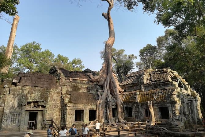
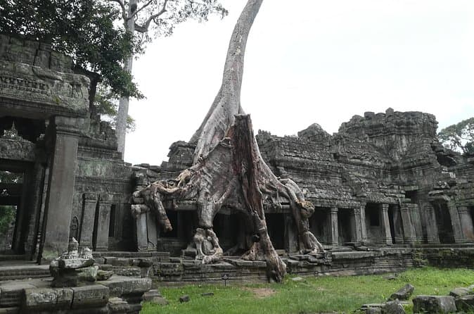


The small-circuit and grand-circuit cards are separate days. The two-day card is both, plus Banteay Srei. The tuk-tuk card is a sunrise run on the small circuit. None of them include the Angkor pass unless the listing says so on the day you book. Going without a tour is realistic once you can point at this map: the DIY guide is that version.
FAQ
Where is Angkor Wat on the map?
Angkor Wat is about 7 km north of the Old Market in Siem Reap, at roughly 13.413 north, 103.867 east. The South Gate of Angkor Thom is a little further north. These are OpenStreetMap positions, rounded. The ticket office is published by Angkor Enterprise as being on Road 60, 4 km from the centre of town, which you pass on the way out.
What is the difference between the small circuit and the grand circuit?
The small circuit is the southern loop: Angkor Wat, Angkor Thom (Bayon and the terraces), and the temples just east of the walls, especially Ta Prohm, Banteay Kdei and Srah Srang. The grand circuit is the longer loop north and east of Angkor Thom: Preah Khan, Neak Pean, Ta Som, East Mebon and Pre Rup. We are not printing a single official length for either loop. Stop-to-stop distances are in the tables on this page.
How far is Banteay Srei from Siem Reap?
About 38 km from the Old Market by OpenStreetMap routing, roughly 45 minutes in that model and longer in traffic. Kbal Spean parking is about 14 km further, 15 to 20 minutes past Banteay Srei. Beng Mealea is a different direction, about 53 km east.
Can I use an offline map in the park?
Yes. Mobile signal inside the temples is unreliable. An offline app that uses OpenStreetMap, such as Organic Maps or OsmAnd, will still show the gates and the roads if you download Cambodia before you leave the hotel. The paper pass in your hand is what the checkpoints scan. The map does not replace it.
Coordinates and distances are OpenStreetMap routing, checked 26 October 2026, and will not match every odometer. The ticket-office distance is Angkor Enterprise’s published “4 km from the centre.”